Off the plane and straight into the field – Day Two wasted no time making its mark.
The one hour flight from Nassau to San Salvador afforded aerial views of island structures and their geologic features in the Atlantic Ocean. For the 60 minutes on the plane, the students’ faces went back and forth between being buried in field guidebooks (provided by Dr. Wronk) and pressed up against the windows for the magnificent sights.
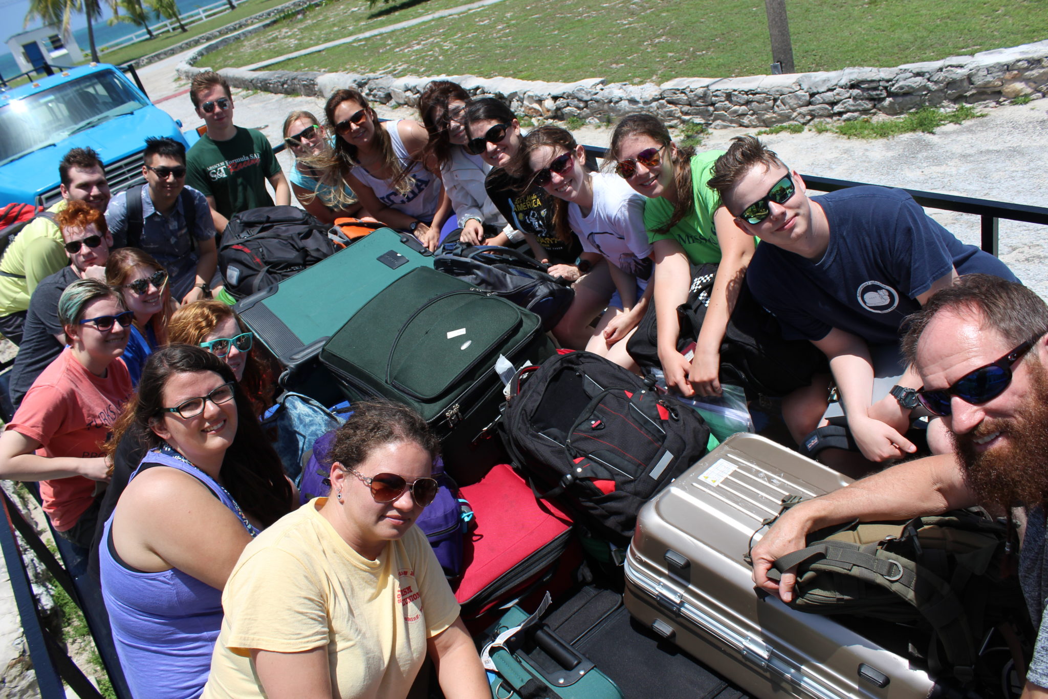
Our chariot for the week.
After touching down at the final destination, the group was greeted by Gerace (pronounced JAIR-ace) Research Centre Executive Director Dr. Troy Dexter and a large flatbed truck. The blue-cabbed trucks and their open-air benches are the primary mode of transportation at the Centre for hauling groups of students to and from field sites. Sunshine, island winds, and ocean views held the class’s attention during the ride along Queens Highway – a two-lane road that circles the island with no shoulder to speak of – from the airport to their residence for the next nine days.
Lunch was immediately provided and heartily consumed at the Centre’s cafeteria (three squares a day of filling food prepared and served by a patient staff – no small feat considering Gerace will house groups of students and faculty representing at least nine schools during this week alone), followed by a quick orientation. After settling into assigned dorms and rooms, it was time to dive right in – off to the field!
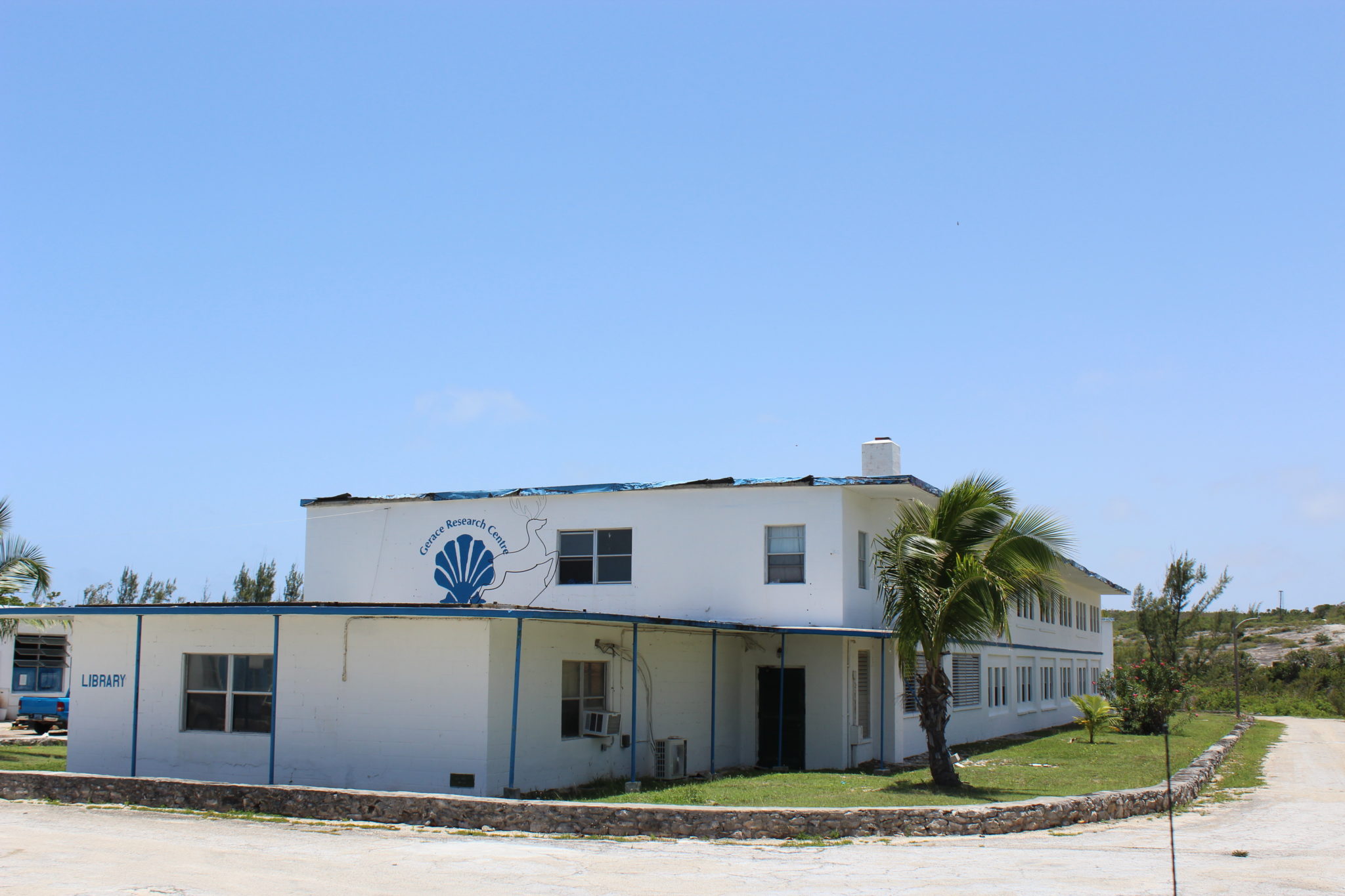
First look at Gerace Research Center.
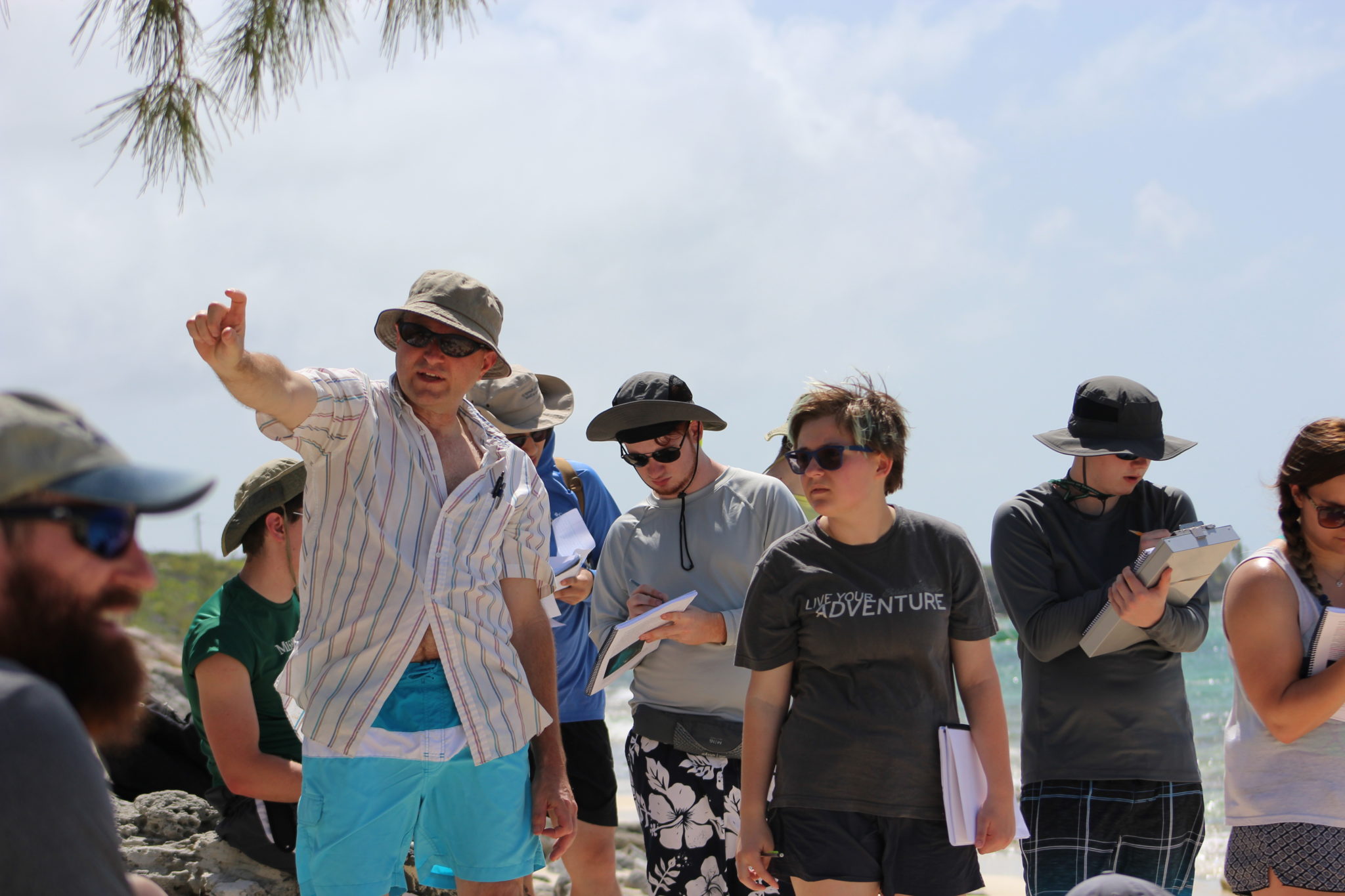
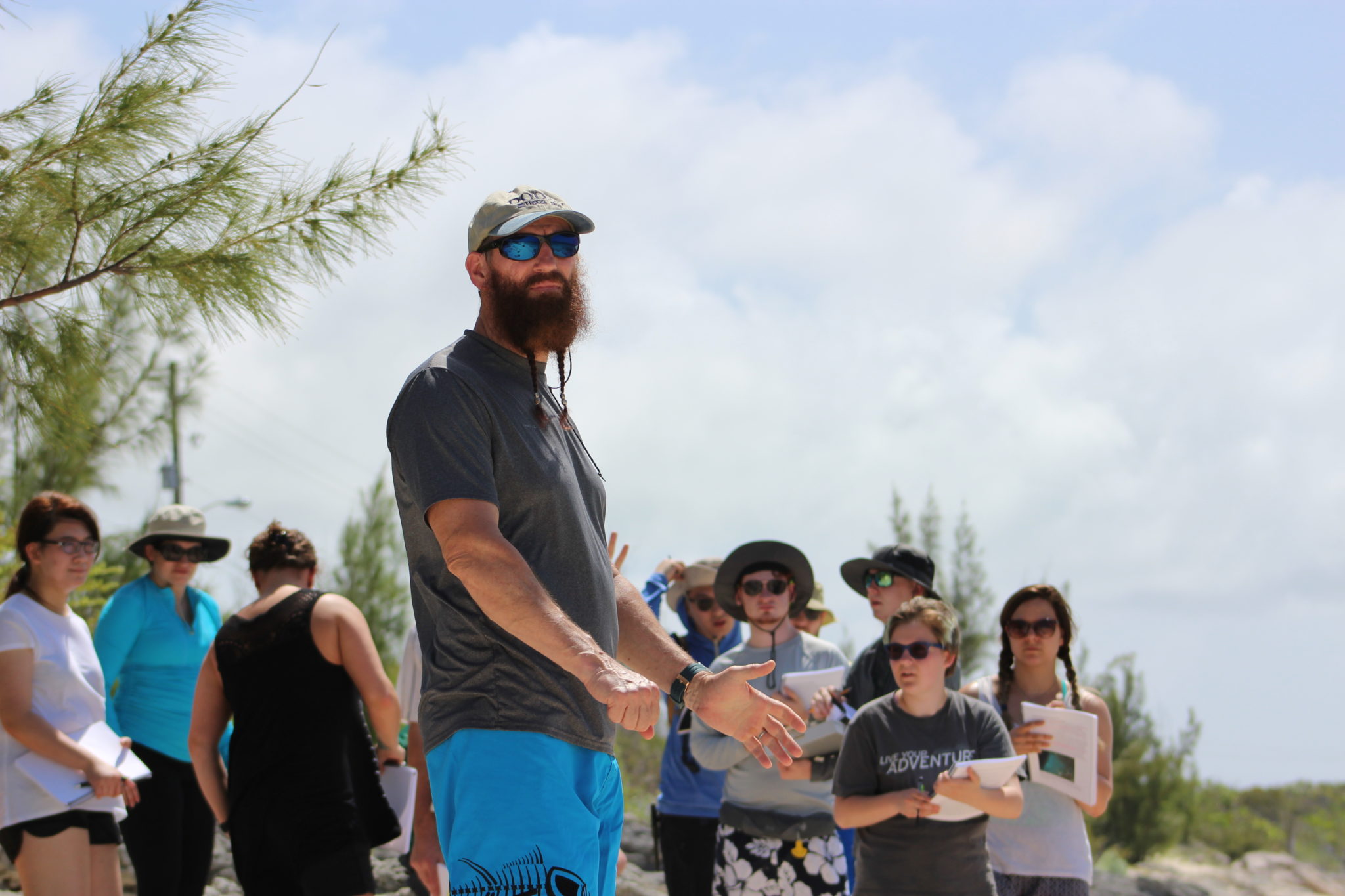
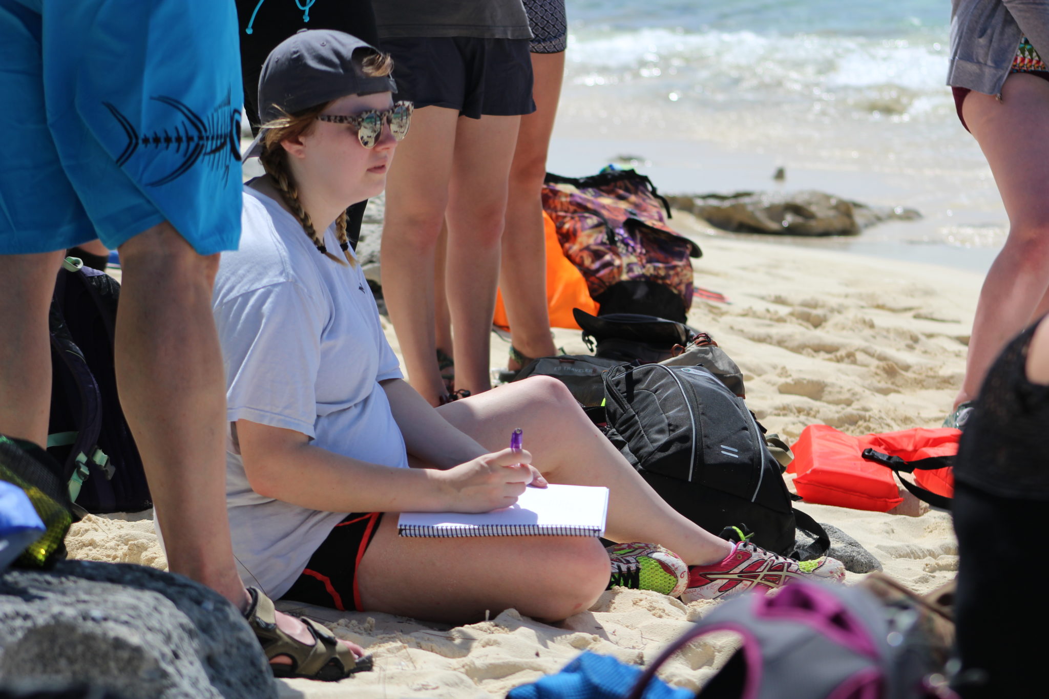
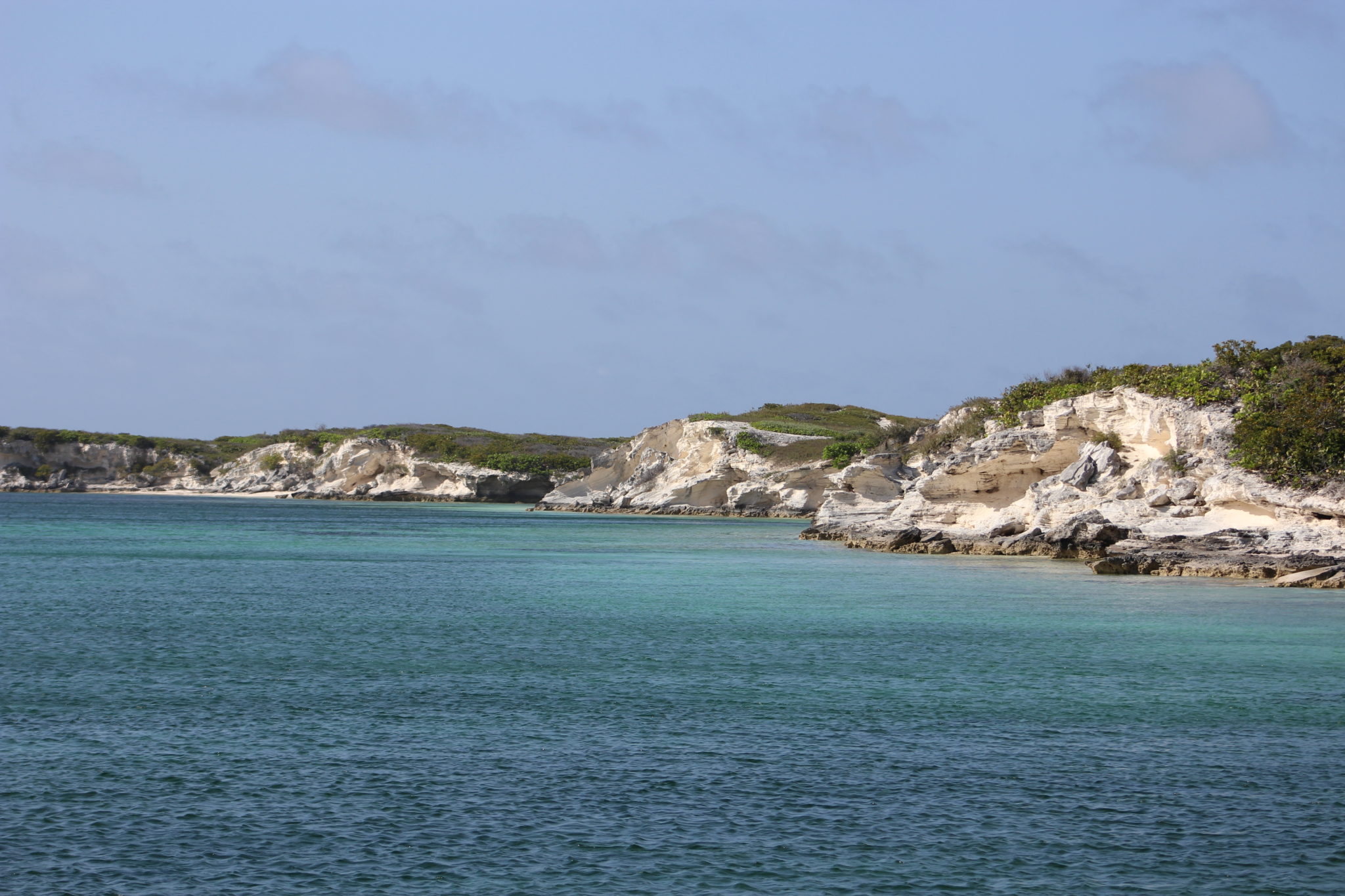
The beach of Graham’s Harbor is separated from the Centre by only Queens Highway, the narrow main road. With Dr. Wronk leading the way, the class crossed the lane and stepped onto the carbonate geology they’d studied all semester. They promptly got to work, observing and then sketching in their field books the beach slope, grain sizes and types of sediment, rock structures, and biota (living organisms) on the beach.
Since, geologically speaking, the Bahamian platform is quite young, formations seen all over the island originated during the Pleistocene and Holocene epochs. During our current Holocene epoch (younger than the Pleistocene – remember the Nassau caves from Day One?), deposits built up to create what is named the Rice Bay Formation. The Rice Bay Formation is made up of the North Point Member (older) and the Hanna Bay Member (younger), and the beach at Graham’s Harbor belongs to the latter. Essentially, this means the budding geologists were studying a beach that began forming less than 10,000 years ago.
See the figure below for a clear illustration of the stratigraphy, or layers, of The Bahamas.
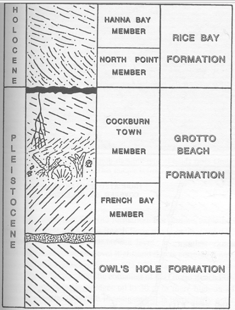
Figure showing stratigraphy of The Bahamas.
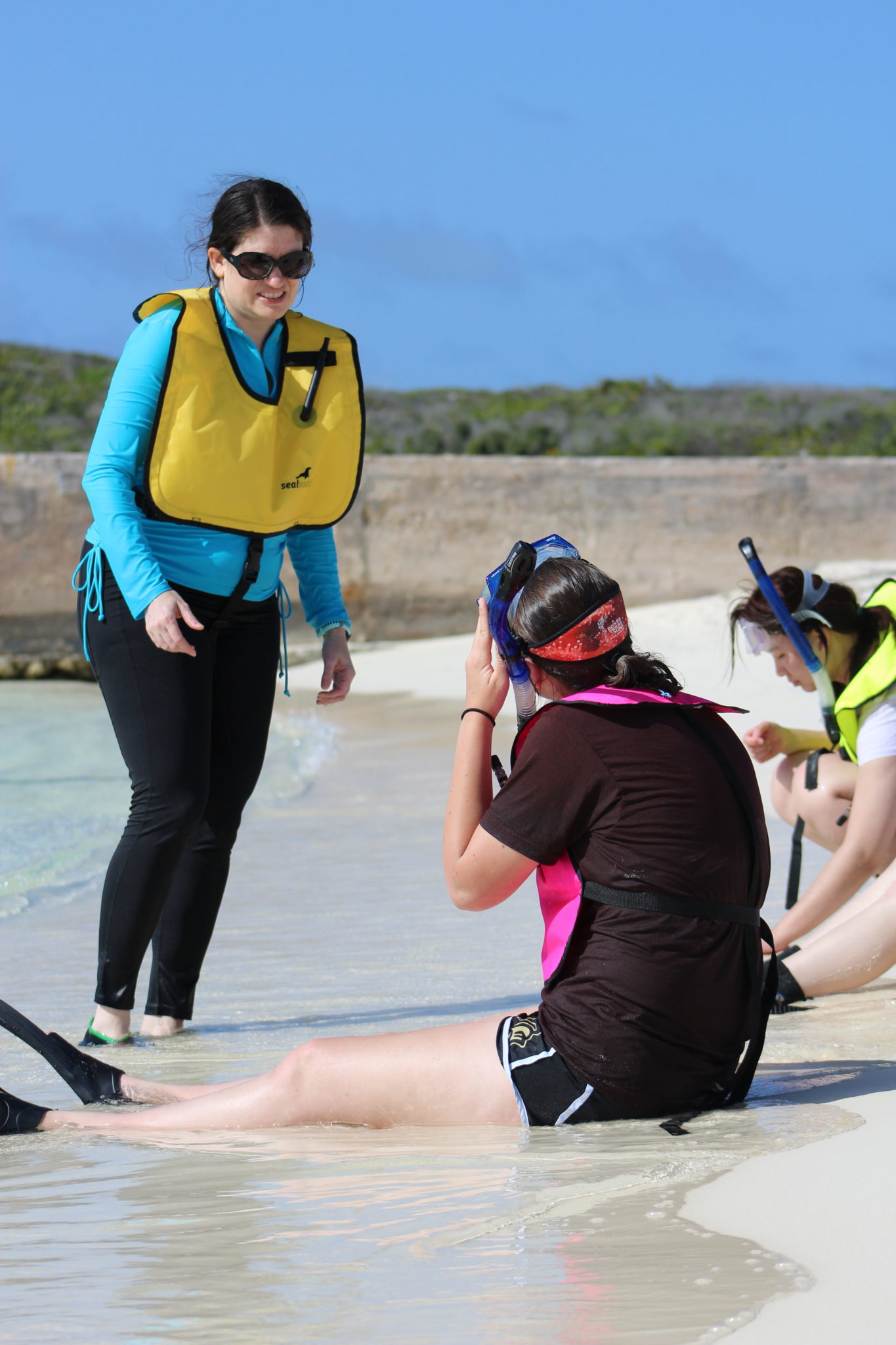
When the snorkels came out and Dr. Emitt Witt had checked for and assured everyone’s safety, it was time to move off the beach and examine the underwater biota. Levels of snorkeling experience were once again varying, but it wasn’t long before all students had their face masks parallel with the ocean floor. In the short time of exploring the marine environment, the students were treated to sightings of underwater grasses, two species of plant algae, multiple species of fish, a few small corals (snorkeling for big time corals will happen later this week), several starfish, and three sea turtles.
Samples of coral (dead ones, of course – no worries about disturbing living habitats with this crew), algae, and sands were brought back to the lab for a quick visual analysis. The class will meet in the lab each evening after dinner to discuss the field studies of the day and to work on their individual research projects. There are 10 labs for student use
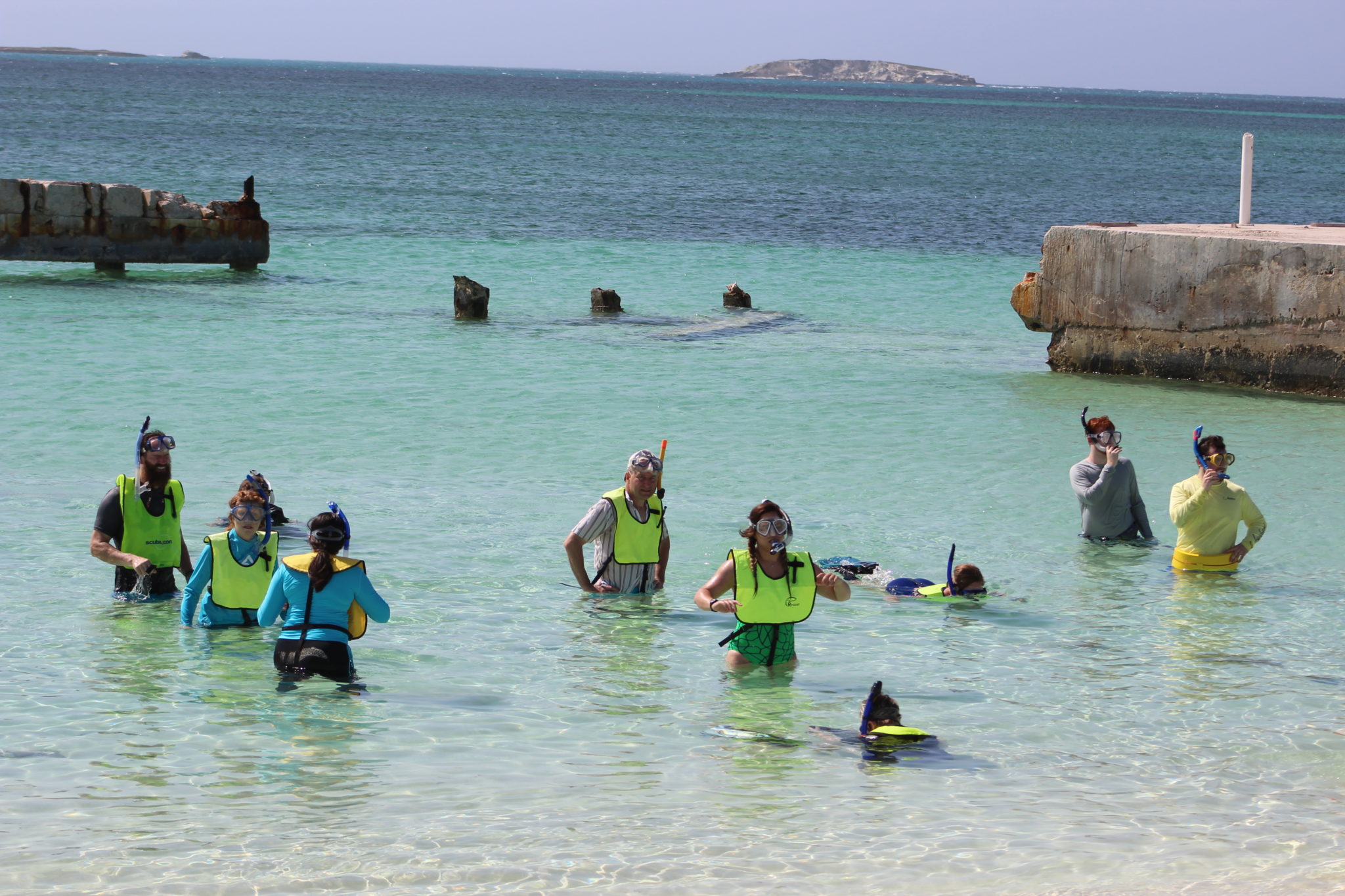
Clear, warm, perfect water for a snorkel.
at Gerace; Missouri S&T students get to share lab space with two Ph.D. candidates from University of Southern Florida who have been drilling and collecting core samples on the island since mid-April. The samples are in stacks of meticulously labeled boxes and S&T was given one ground rule: You may look at the core samples, you can even touch them. Just PLEASE don’t mix them up!
See the photos below for a closer look at Day Two, and check back for news of Day Three. Coming up: The Bluff, an area devastated by Hurricane Joaquin in 2015; The Lighthouse; North Point Peninsula; and more spectacular views of carbonate geology.
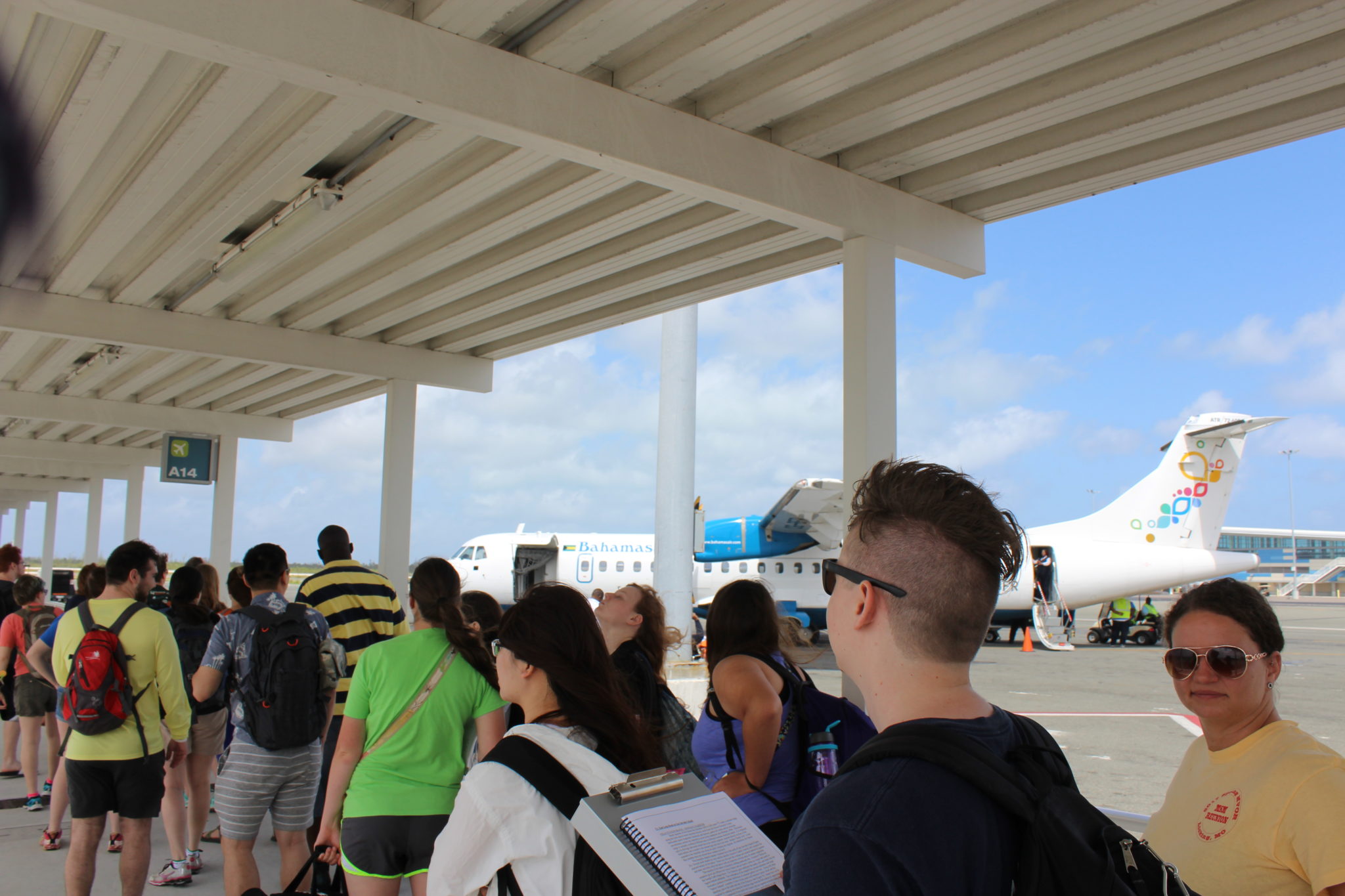
Almost time to board the plane to San Sal.

Some serious geology happening down there!

First foray into field study. Graham’s Harbor made a great classroom.
Dr. Wronk sizing up some features with Emma.
Dr. Witt, just being cool.
Geologist Emmy.
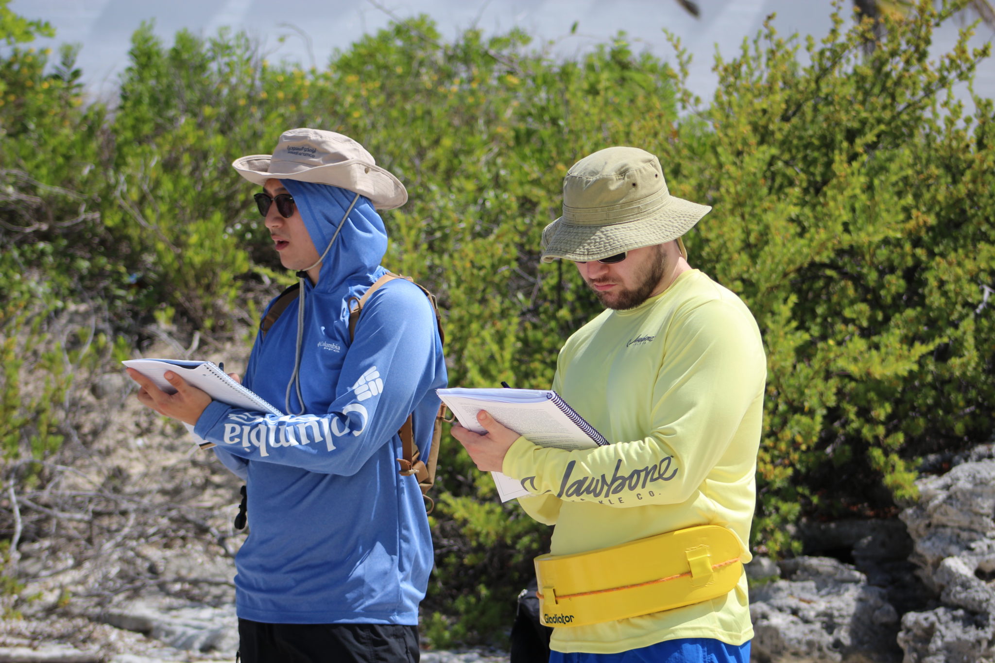
Geologists Tong and Mark.
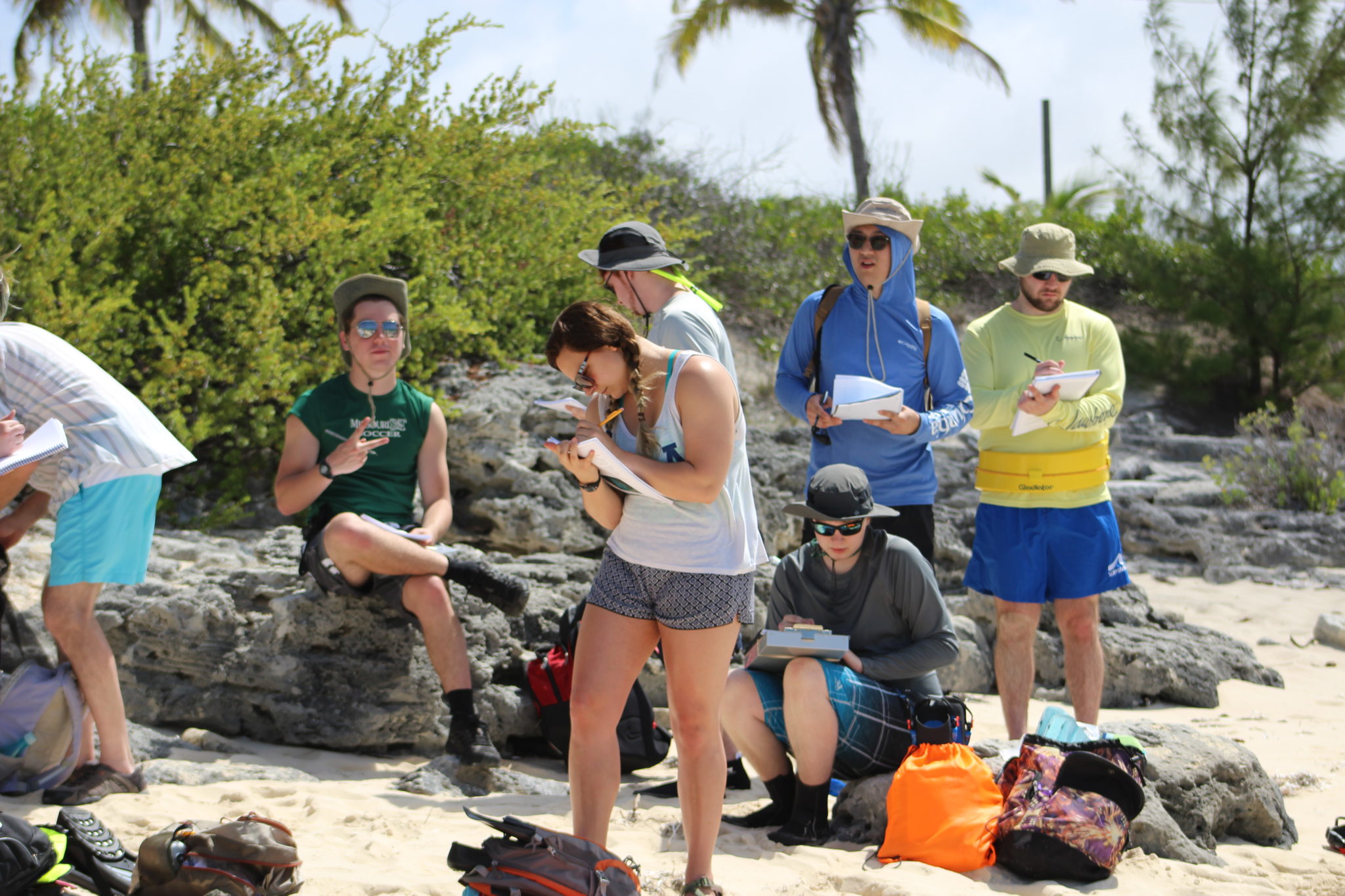
Geologist Sara (center).
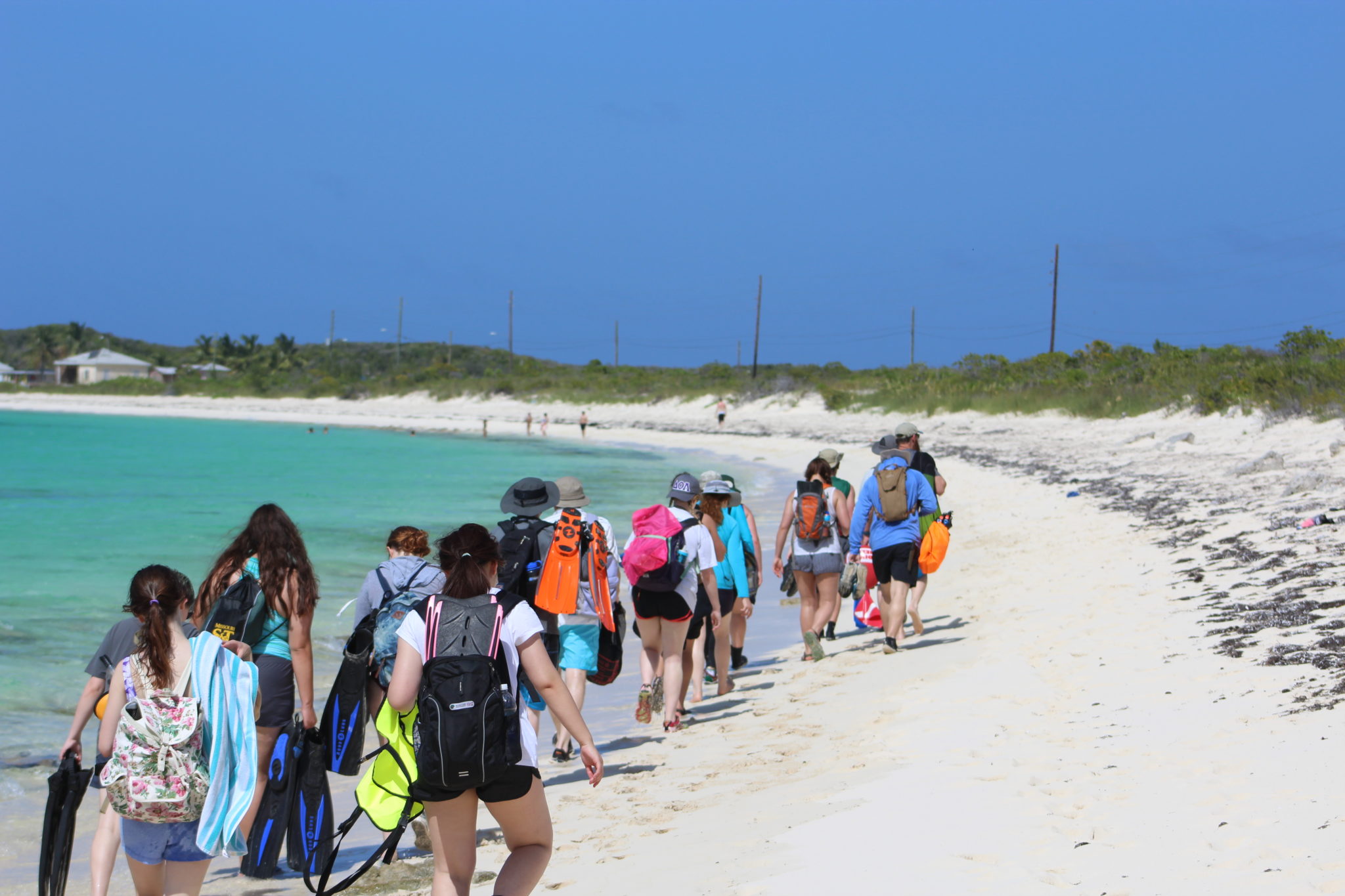
Trek to the snorkeling location in Graham’s Harbor.
Our guest alumna, Cherie Telker, lends her expertise and experience to the young geologists.
Talk about some carbonate geology….

Wrapping up with some lab time.
Rolla, owning Lab 7.
*Reference:
Carew, J.L. and Mylroie, J.E., Depositional model and stratigraphy for the Quaternary geology of the Bahama Islands. in Geological Society of America, Special Paper 300, pp. 5-32 (1995).